Waters to Watch

A list assembled by the nation’s leading authorities on aquatic conservation to create cleaner and healthier habitats for the many fish and wildlife species and people who call these areas home

So what is Waters to watch and why Should I care?

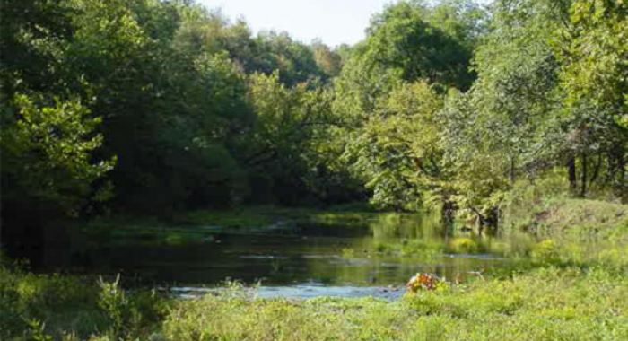
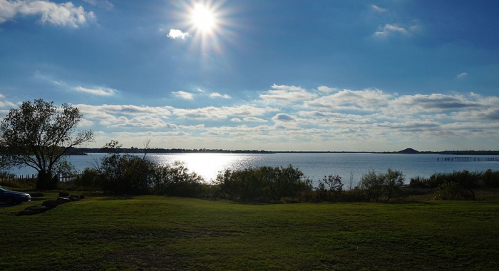
The 10 Waters to Watch list, assembled by the nation’s leading authorities on aquatic conservation, is a collection of rivers, streams and shores that will be cleaner and healthier habitats for the many fish and wildlife species and people who call these areas home.

Thanks to the combined actions of concerned community groups, non-profit organizations, local watershed groups, Native American tribes and state and federal agencies, these waters are being improved by planting stream-side vegetation, removing structures blocking fish from habitat and protecting bodies of water from the effects of industrial processes, agriculture and livestock.

They are representative of freshwater to marine waters across the country including lakes and reservoirs that are improving through the conservation efforts of the National Fish Habitat Action Plan — a bold initiative to reverse persistent declines in aquatic habitat.

1. Carmel River, California

Project Submission by: The California Fish Passage Forum

The Carmel River Reroute and San Clemente Dam Project is the largest dam removal project ever to occur in California ($83 million) and one of the largest to occur on the West Coast.

Read More

2. Eel River, Indiana

Project Submission by: The Ohio River Basin Fish Habitat Partnership

The mission of the Eel River Initiative is to design and implement a holistic strategy to restore the ecological integrity of the Eel River basin within the context of human endeavors and to provide ecological research opportunities for Manchester University Environmental Studies students.

Read More

3. Mill Creek and Deer Creek, California

Project Submission by: The California Fish Passage Forum

Both Deer and Mill creeks are considered conservation strongholds for this ESU, as well as Central Valley steelhead (O. mykiss), which are listed as threatened under the Federal Endangered Species Act, and fall-run Chinook salmon, listed as a State Species of Special Concern. The Final Central Valley Chinook Salmon and Steelhead Recovery Plan identifies Deer and Mill creeks as top priority watersheds for the recovery of Central Valley spring-run Chinook salmon and Central Valley steelhead (National Marine Fisheries Service (NMFS 2014). Improving fish passage on both creeks is vital to the overall health and recovery of Chinook salmon and steelhead in California’s Central Valley.

Read More

Peno Creek, MO.

4. Peno Creek, Missouri

Project Submission by: The Fishers & Farmers Partnership

Agricultural landowners in Peno Creek Priority Watershed (Salt River Basin) are voluntarily installing best management practices to meet NFHP/FFP goals through water quality improvement and habitat protection. Best management practices will reduce erosion, sedimentation, and nutrient loading. Some of these actions include installing alternative drinking sources and stream crossings, fencing cattle out of the stream, reforestation of the riparian corridor, streambank stabilization or other aquatic habitat restoration, and establishment of cover crops to improve soil health. Stakeholders will continue to be consulted to guide long-term community watershed efforts with the Missouri Department of Conservation (MDC) and the Natural Resources Conservation Service (NRCS). Practices are installed by landowners and contractors under MDC guidance and are guaranteed in place for at least 10 years.

Read More

5. Qwuloolt Estuary, Washington

Project Submission by: The Pacific Marine and Estuarine Partnerships

The Qwuloolt (Qwuloolt means “marsh” in the Lushootseed language) Estuary is located within the Snohomish River floodplain about three miles upstream from its outlet to Puget Sound. Historically, the area was tidal marshand forest scrub-shrub habitat, interlaced by tidal channels, mudflats and streams. The project area was cut off from the natural influence of the Snohomish River and Salish Sea tides by levees and drained by ditches instead of stream channels. Prior to the breach, the area was characterized mostly by a monoculture of invasive reed canary grass instead of native estuarine vegetation, and warm water invasive fishes and amphibians. Through the cooperation of its many partners, this project has returned some of the historic and natural influences of the river and tides to the Qwuloolt area.

Read More

Lake Wichita

6. Lake Wichita, Texas

Project Submission by: The Reservoir Fish Habitat Partnership

Lake Wichita is the third oldest reservoir in Texas, completed in 1901. Historically Lake Wichita was known as the “Gem of North Texas”, and served as a recreation destination social mecca, a driving economic force, as a haven for the wise-use and conservation of fish and wildlife resources, and as a foundation for community growth by serving as a drinking water source. Having surpassed its expected 100-year lifespan, Lake Wichita is no longer able to provide significant social, economic, ecological, or recreational benefits to the community. Having recently gone through a historic drought, we were able to see first-hand the fisheries habitat impairments that plague Lake Wichita. Siltation, degraded shoreline areas, loss of connectivity, excessive nutrients, lack of structural habitat, and lack of water coming from the watershed combine to cause Lake Wichita to cease to meet any of its intended purposes.

Read More

7. Cathie Brown Streambank Stabilization and Habitat Project, Mulberry River, Oark, Arkansas

Project Submission by:

This project seeks to stop erosion, reduce sedimentation, reduce elevated water temperatures, and restore a riparian zone of the Mulberry River, a state-designated Extraordinary Resource Waterbody and nationally designated Scenic River. Restoration will take place on private property adjacent to US Forest Service (USFS) lands. This is a cooperative community project that will restore the streambank, reestablish the riparian zone 60 feet out into the floodplain, and educate citizens on water quality and river protection.

Read More